
 Taboo
by
Taboo
by
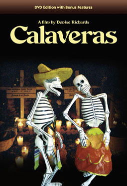 Calaveras: A Film by Denise Richards
American Anthropological Association Award Winner.
Summary: "Calaveras brilliantly captures the confluence of a deep and ancient Mexican tradition (the Day of the Dead celebration), and a very present and dramatic awareness of death through AIDS and the memory-keeping of the dear lost ones. This is not only an excellent ethnographic piece of work, but also a keen filmic perception of the passing of time and the changes in our culture." -- Jorge Ruffinelli, Director, Center for Latin American Studies, Stanford University.
Interviews with individuals about the Hispanic Day of the Dead involving the belief that the spirits of the dead return to this world each year for one day only. Includes the custom of building altars in the honor of the dead.
Calaveras: A Film by Denise Richards
American Anthropological Association Award Winner.
Summary: "Calaveras brilliantly captures the confluence of a deep and ancient Mexican tradition (the Day of the Dead celebration), and a very present and dramatic awareness of death through AIDS and the memory-keeping of the dear lost ones. This is not only an excellent ethnographic piece of work, but also a keen filmic perception of the passing of time and the changes in our culture." -- Jorge Ruffinelli, Director, Center for Latin American Studies, Stanford University.
Interviews with individuals about the Hispanic Day of the Dead involving the belief that the spirits of the dead return to this world each year for one day only. Includes the custom of building altars in the honor of the dead.
 Digging New Jersey's Past: Historical Archaeology in the Garden State
by
Digging New Jersey's Past: Historical Archaeology in the Garden State
by
 Witching Culture: Folklore and Neo-paganism in America
by
Witching Culture: Folklore and Neo-paganism in America
by
 American Indian Languages: The Historical Linguistics of Native America
by
American Indian Languages: The Historical Linguistics of Native America
by
 The Cultural Context of Health, Illness, and Medicine
by
The Cultural Context of Health, Illness, and Medicine
by
 Medical Anthropology and the World System: A Critical Perspective
by
Medical Anthropology and the World System: A Critical Perspective
by
Once you find a book on your topic, be sure to look at the book's subject heading. Clicking on this heading will take you to other books on your topic.


